Convert map projection of a object of class prevR.
Source:R/changeproj.prevR.r
changeproj-prevR-method.RdThis function converts map projection (and/or datum) used by an object of class prevR into another one.
# S4 method for prevR
changeproj(object, proj)
Arguments
- object
object of class prevR.
- proj
new map projection. One of (i) character: a string accepted by GDAL, (ii) integer, a valid EPSG value (numeric), or (iii) an object of class
crs, seesf::st_crs().
Value
Return object expressed in the projection proj.
Details
changeproj() transform the columns "x" and "y" of the slot
clusters of object and convert boundary using the new
map projection defined by proj.
If applicable, the slot rings will be recalculated.
See also
Examples
print(fdhs)
#> Object of class 'prevR'
#> Number of clusters: 401
#> Number of observations: 8000
#> Number of positive cases: 810
#> The dataset is weighted.
#>
#> National prevalence: 10.12%
#> National weighted prevalence: 10.16%
#>
#> Projection used: +proj=longlat +datum=WGS84
#>
#> Coordinate range
#> min max
#> x -5.37750 3.6850
#> y 4.80326 14.1225
#>
#> Boundary coordinate range
#> xmin ymin xmax ymax
#> -5.518916 4.736723 3.851701 15.082593
plot(fdhs, axes = TRUE, main = "Projection: longitude/latitude")
 fdhs2 <- changeproj(
fdhs,
"+proj=utm +zone=30 +ellps=WGS84 +datum=WGS84 +units=m +no_defs"
)
print(fdhs2)
#> Object of class 'prevR'
#> Number of clusters: 401
#> Number of observations: 8000
#> Number of positive cases: 810
#> The dataset is weighted.
#>
#> National prevalence: 10.12%
#> National weighted prevalence: 10.16%
#>
#> Projection used: +proj=utm +zone=30 +ellps=WGS84 +datum=WGS84 +units=m +no_defs
#>
#> Coordinate range
#> min max
#> x 240094.2 1231995
#> y 531003.3 1562155
#>
#> Boundary coordinate range
#> xmin ymin xmax ymax
#> 224228.1 523628.1 1251165.0 1669034.2
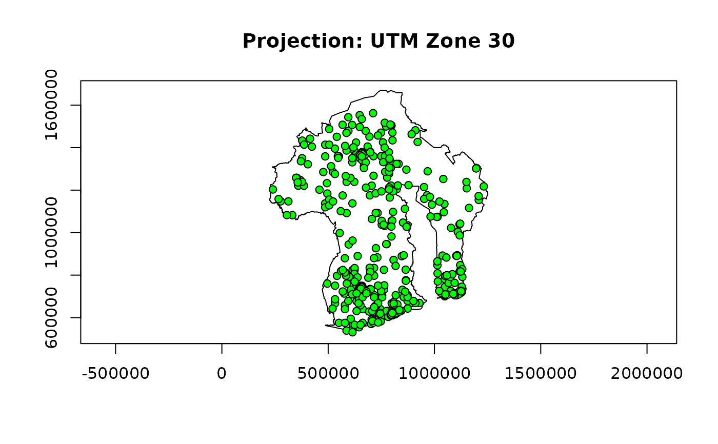
plot(fdhs2, axes = TRUE, main = "Projection: UTM Zone 30")
fdhs2 <- changeproj(
fdhs,
"+proj=utm +zone=30 +ellps=WGS84 +datum=WGS84 +units=m +no_defs"
)
print(fdhs2)
#> Object of class 'prevR'
#> Number of clusters: 401
#> Number of observations: 8000
#> Number of positive cases: 810
#> The dataset is weighted.
#>
#> National prevalence: 10.12%
#> National weighted prevalence: 10.16%
#>
#> Projection used: +proj=utm +zone=30 +ellps=WGS84 +datum=WGS84 +units=m +no_defs
#>
#> Coordinate range
#> min max
#> x 240094.2 1231995
#> y 531003.3 1562155
#>
#> Boundary coordinate range
#> xmin ymin xmax ymax
#> 224228.1 523628.1 1251165.0 1669034.2
plot(fdhs2, axes = TRUE, main = "Projection: UTM Zone 30")